Garmin Chart Subscription
When you purchase a new Garmin Navionics+™ or Garmin Navionics Vision+™ chart, a one-year subscription is included.
When it expires, you can continue getting daily chart updates and downloadable features by renewing your annual subscription. This price is up to 50% less than buying a new chart.
DAILY UPDATES
Thousands of daily chart updates are available via the ActiveCaptain® app for the freshest chart data every time out.
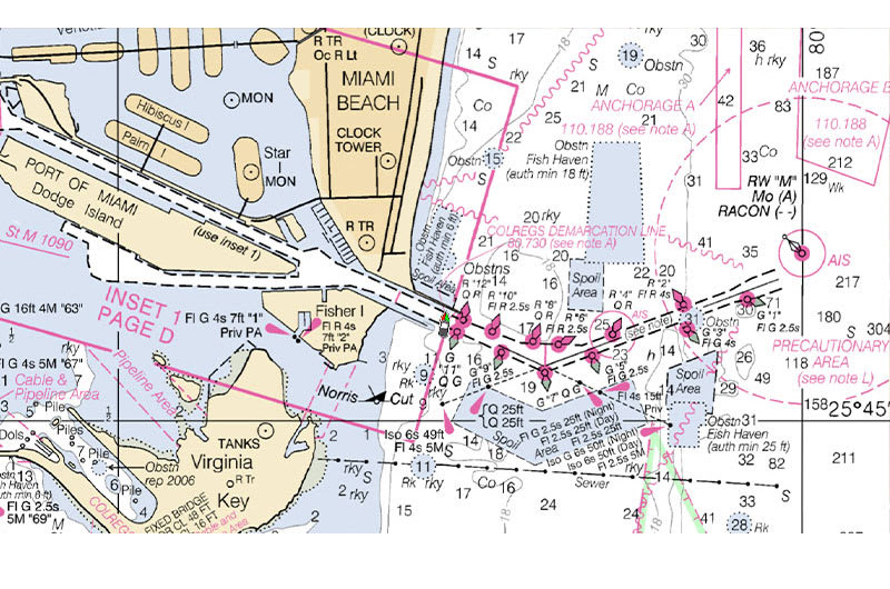
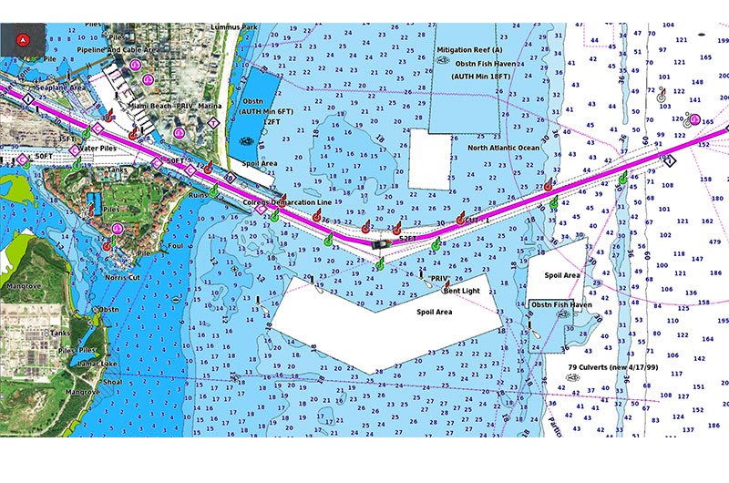
RASTER CHARTS
NOAA raster charts1 is available as a free downloadable feature via the ActiveCaptain app to provide paper chart-like views on your plotter2.
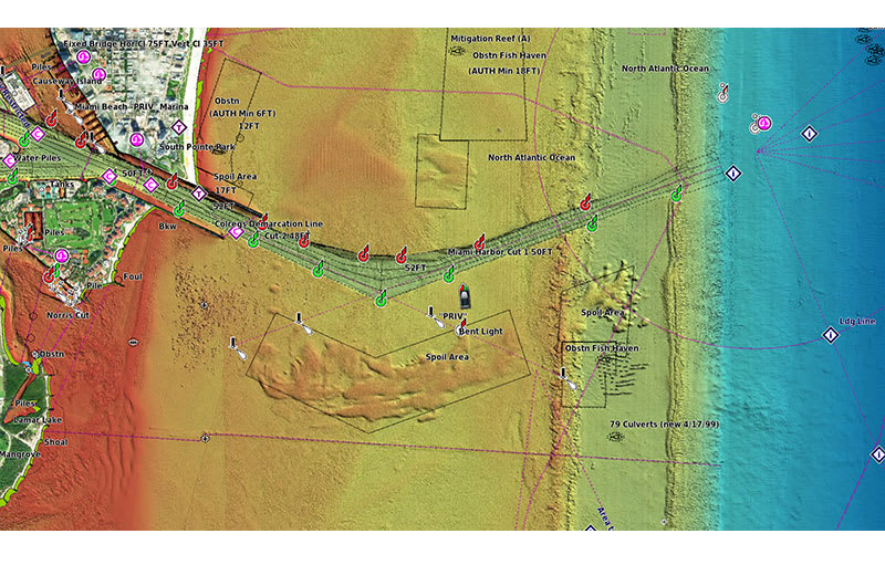
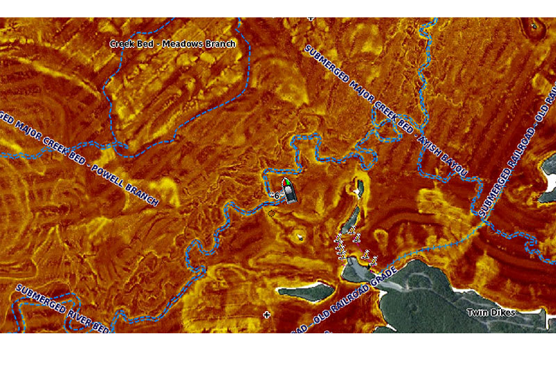
HIGH-RESOLUTION RELIEF SHADING
Highly detailed shading combines color and shadow to provide an easy-to-interpret, clearer view of bottom structure than contour lines alone.
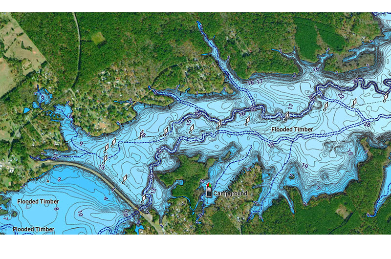
HIGH-RESOLUTION SATELLITE IMAGERY
High-resolution satellite imagery overlaid with navigational charts gives you a realistic view of your surroundings — ideal for entering unfamiliar harbors or ports2.
SONAR IMAGERY
The sonar imagery feature reveals bottom hardness clearly and in contrasting color, highlighting both subtle and dramatic transition areas2.
Related Articles
Garmin Chart Comparison
Feature Comparison Features BlueChart® g3 BlueChart® g3 Vision Garmin Navionics+™ Garmin Navionics+™ Vision Integrated Garmin and Navionics content ✓ ✓ ✓ ✓ Auto Guidance+™¹ technology ✓ ✓ ✓ ✓ Depth range shading ✓ ✓ ✓ ✓ Up to 1' contours ✓ ✓ ✓ ✓ ...Garmin ECHOmap 52cv / 53cv / 54cv Owners Manual
Manual AttachedGarmin ECHOmap 72cv / 73cv / 74cv Owners Manual
Manual AttachedGarmin ECHOmap Ultra2 122sv / 126sv Owners Manual
Manual AttachedGarmin InReach Messenger Plus Owners Manual
Manual Attached